The strong cold front that has been well advertised is currently crossing the plateau. The colder air will be slow to filter into the area, but you’ll know it’s here by the morning! The precipitation with the front is also lingering well to the west of the front. I’m still not expecting much rainfall and some of you all may not see anything. Rainfall amounts for all should stay under a quarter of an inch.
Frost advisories will be required for the entire Upper Cumberland region for Friday night. I expect lows to range from 31-36 degrees across our region. That’s well within the range of frost and some of us may even see a light freeze.
Expect winds to be a bit breezy overnight, as all these changes take place. Friday may remind you more of winter than of the Fall. Be ready to dress warmly.
Not a fan of cooler weather? Never fear. The pattern will change rather abruptly by Saturday and a warming trend will ensue. We’ll see lower 60s Saturday and mid to upper 60s by Sunday. By the start of next week, we’re back into the lower 70s area-wide.
So, enjoy this shot of colder air coming tomorrow and tomorrow night. Hey, one really good thing about this kind of airmass is that it often gives us crystal clear night skies, which are perfect for stargazing. Keep that in mind Friday night…..but wear a sweater!
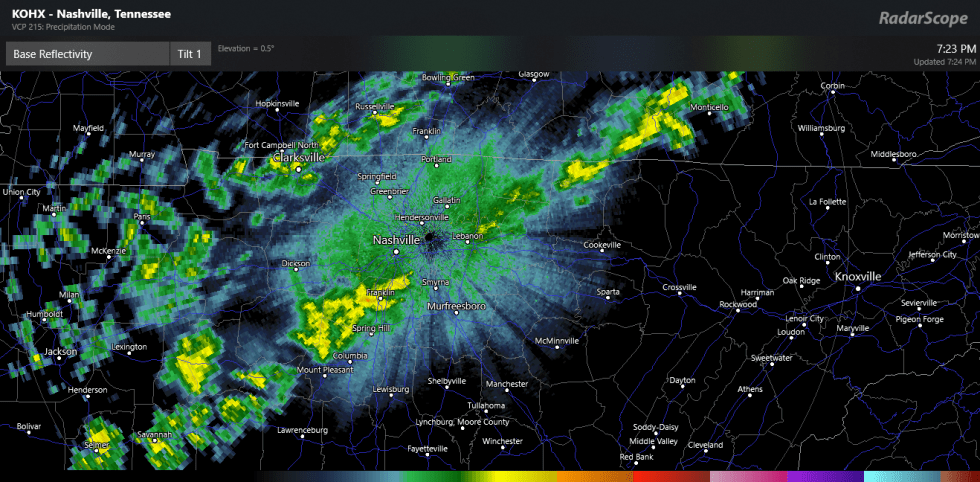
Pictured below is the current radar (via RadarScope) showing some scattered showers across the Midstate. You all take care!