Thursday, December 8, 2022
Next update scheduled by Friday at 9:00 a.m., or as needed
Headline
Drought-Bustin’ Rainfall Continues
LOCAL WEATHER
MM’s Wx Vlog
Be sure and subscribe to my channel for free at https://www.youtube.com/channel/UCz3zLMT7tqpb6eIaE-8YGog
This Week’s Hazards
Be safe driving on wet roadways.

Five-Day Outlook
Normal High: 49 deg Normal Low: 32 deg

Five-Day Weather Forecast
Thursday: Rain and thunderstorms likely.
Friday: Rain likely in the morning, tapering off by afternoon.
Saturday: Mostly cloudy with a chance for showers. Rain chances increase overnight.
Sunday: Partly to mostly cloudy, with a chance for mainly morning showers.
Monday: Mostly sunny and mild.
Forecast Discussion & Concerns
Elevated rain chances continue but widespread flooding issues are not expected. Neither severe nor wintry weather issues are expected at this time.
A decent 2-4 inches of rain is expected areawide by the end of the week. Some locations may receive locally higher amounts.
By next week, a strong cold front will blow through Tuesday night to Wednesday. That will usher in colder and drier air, as it looks right now. There does appear to be at least a low risk of severe storms with that frontal passage. I’ll monitor that closely in the coming days.
The Storm Prediction Center outlook for severe weather shows severe storms possible on Tuesday across the Lower Mississippi River Valley (pictured below). I’ll be tracking that threat eastward.

HRRR Radar Model
This model begins at 9:00 a.m. and ends at 11:00 pm, in one-hour increments. Showers are expected to taper off later into the evening.

Weather Stats

Weather statistics are available each day at https://meteorologistmark.com/weather-statistics/
HISTORY
On This Day
1978- Nashville records greatest one-day rainfall for December, with 4.46″.
1963 – Lightning caused the crash of a jet airliner killing 81 persons at Elkton, Maryland.
Weather history is updated for each day at https://meteorologistmark.com/weather-history/
Special Announcement
Last week, I met with City Fire and the County EMA. They had expressed interest in working with me for weather data during times of inclement weather or if an emergency response required weather data. I am very excited to announce that I agreed to be contracted with them and we are working on phasing me into that new role. I am also thankful for my job at Creative Compassion, that allows me the flexibility to take on such projects. My call sign for those listening on emergency radios will be Weather1.
In addition. due to the outpouring of requests (thank you!), along with this new role of mine, the blog will go back to being updated daily and as needed.
REGIONALLY
Past 24-Hour Precip Totals

Drought Outlook
The drought map updates each Thursday, so this is the latest map! Drought conditions continue to improve. This map was based on data that precedes the latest rainfall. Next week’s update will take that rainfall into consideration and that will make a big difference in these maps. For more drought info, please visit https://meteorologistmark.com/drought-info/
Estimated population in drought Areas in TN last week = 5,362,178
Estimated population in drought Areas in TN this week = 1,834,955

NATIONALLY
National Weather Map for Today

Forecast 5-Day Rainfall Totals

Past 24-Hour Temperature Changes
Bluer colors represent colder temps from 24 hours ago this morning, while redder colors indicate warmer temps from 24 hours ago.

Today’s High Temps & Departure from Average
Today’s high temps are shown below. The coloration indicates departure from average, with redder colors indicating above-average high temps and bluer colors indicating below-average high temps. White coloration indicates average temps.
Highest temp expected today: 85 degrees (red star)
Coolest high temp expected today: 5 degrees (blue star)

Tomorrow Morning’s Low Temps & Departure from Average
Tomorrow morning’s low temps are shown below. The coloration indicates departure from average, with redder colors indicating above-average low temps and bluer colors indicating below-average temps. White coloration indicates average temps expected.
Warmest overnight low expected: 76 degrees (red star)
Coolest overnight low expected: -8 degrees (blue star)

MM NEWS
MM Classes for Kids
The next MM kid’s classes will take place in January and February of 2023. The next Crossville class will take place on Wednesday, January 18 at 4:30 pm. The Clarkrange class will take place Thursday, February 2 at 5:00 pm. Registration is required. The class topic will be hail! Registration can be found at https://meteorologistmark.com/mm-kids/

MeteorologistMarkPro
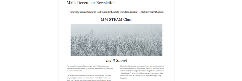
December’s newsletter is out! Learn all about what we discussed in the kids class in November, the weather of Novembers in the past on the plateau, and how lake-effect snow occurs! These topics and more are in this month’s letter! Subscriptions for the newsletter pay for materials used in the MM kids classes each month. To subscribe or try a free sample, go to https://meteorologistmarkpro.com/
Other important weather information will be shared when needed. This includes additional severe weather information, forecast discussion, model data, drought info, hurricane info, and more. Some of these can be found as tabs to this page at any time.
Disclaimer: This website/app should never be considered your primary source of severe weather warnings.

You all have a great day and keep lookin’ up!
