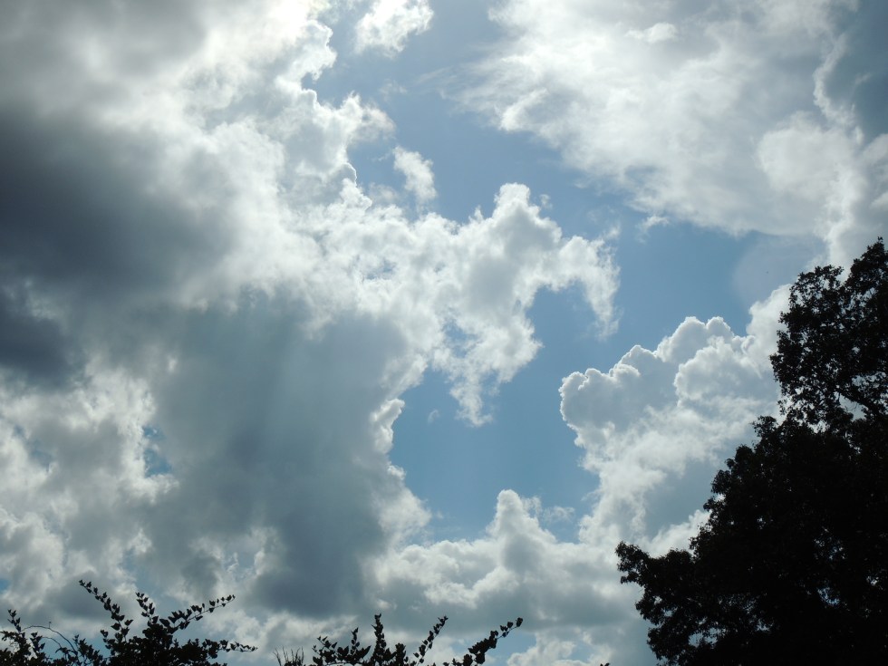
First of all, let’s talk about how Ida will affect Tennessee. The storm made for some pretty skies on the plateau today. The sky before a storm like this is often very pretty. The more significant impacts will begin arriving tomorrow. First the clouds will increase, then the rain will begin arriving by afternoon and evening, becoming even more likely overnight.

By Monday night, winds will also be increasing and becoming downright gusty by Tuesday. Higher elevation areas always see very gusty winds with these systems. Winds increase rather dramatically with height with tropical systems. Our winds will likely be much stronger than much of Middle Tennessee’s.
We also need to be aware of the tornado threat. That threat isn’t substantial, but it’s not zero. Tornadoes with tropical systems tend to be weak and short-lived, but not something to ignore. They can develop rapidly and with little to no warning.
Rainfall amounts will likely be in the 3-5 inch range. That will lead to very wet roads and some of you will experience flooding.
The good news is that the storm has sped up, which means the second half of Wednesday could be nice, though winds will likely still be gusty.
So, let’s be weather-aware starting Monday night, and let’s remain weather-aware through Tuesday.
Winds will get gusty and that will mean some power outages. Go ahead and charge up your devises and charge up those battery packs I’ve had you get in the past. Make sure batteries are good in the weather radio, too. Prepare much like you would for a snow that’s coming, though I’m not sure milk sandwiches are hurricane weather food. (haha!) I’ve actually heard pop-tarts are the food of choice for hurricane weather.
Ida. An odd storm.
Hurricane Ida has been one for the record books today. The storm not only made landfall as a historic category 4 storm, but it maintained that intensity for hours after making landfall. Many of us watched the satellite and radar in awe today, seeing things we’ve never seen before with a hurricane. It has only now begun to lose the sharp definition of an eye, even though it made landfall nearly eight hours ago!
Even more intriguing is the behavior of the eye after it made landfall. Mesovortices, small areas of stronger circulation, kept spinning about the eye, as if the storm were still over open ocean waters. Odd, indeed.
Once I saw the eye staying intact after landfall, I immediately began to suspect something that I now know is true. The storm had every right to believe that it was still over water after it made landfall because it kinda was! I’ll explain.
The area where Ida made landfall is very, very swampy. Those swamps contain very warm water and that water makes the environment above it very humid. Keep in mind that it’s the humid air coming off the ocean that fuels hurricanes in the first place. The air made the hurricane think it was still over water.
Swamps are also flatter land. The hurricane found itself over flat terrain that had extremely humid air. The hurricane felt right at home.
We’ve seen this before with other storms. In fact, there’s a term for this phenomenon. It’s called the “Brown Ocean Effect.” It’s when hurricanes hold their intensity or even grow stronger after they move inland. This most often occurs over swamps. We saw this with Andrew in southern Florida in 1992. The storm intensified when it moved into the inland swamps, becoming a cat 5 inland, even though it made landfall as a cat 4.
I wrote an article in my Aug 17 WeatherLetter on how humidity from cornfields can change environments for thunderstorms in the Midwest (Sweatin’ Corn). Those of you who read that will remember that article. That article is available as a free sample at https://meteorologistmarkpro.com/.
This week’s WeatherLetter will have more interesting info on Ida, as well as the complications of evacuations. I’m also writing an article you might enjoy about the Crossville hailstorm we had in August of 1990. We just had the anniversary of that storm today! That next WeatherLetter will be out on Tuesday.
Final Words
I’ll be tracking this system until it has moved out of our neck of the woods. Let’s be sure and keep the folks in the path of this storm close to our hearts. It was awful hearing of folks dialing 9-1-1 and hearing dispatch tell them no one could come.
I just read that 91% of New Orleans is without power. It’s going to be a long, dark, and scary night for a lot people. I dread seeing the news in the morning.
Finally, I want to say that it was so good meeting so many of you at the Fair this past week! I love meeting you all in person, even when you share corny weather jokes. (LOL) Seriously, I appreciate each and every one of you and I thank you so much for trusting me with your weather and for letting me try to teach ya something now and then. 🙂
You all take care.
Pictured below is Hurricane Ida, as seen from the International Space Station.

Thanks for the update and very interesting info. I would have enjoyed seeing you at the fair it I had known you were there I would have definitely came by. God bless you for all you do to keep us informed and ever learning new weather and history facts.
You are very welcome, Shirley! I’m sure I’ll see you soon somewhere around!